
Digital twin services for cities in Lithuania and the Baltics
Urban digital twins from street level
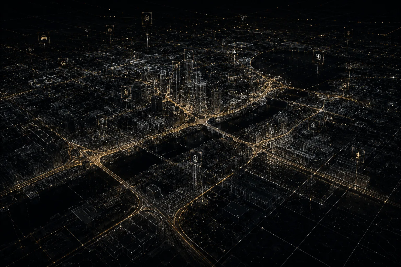
AKYS builds semantic city digital twins, not a 3D city model you can only spin on screen, but a data layer in which every pavement, sign and pole is recognised, catalogued and carries its own coordinates. Everything is captured from the ground, from real street level, at ±3 cm geospatial accuracy.
Live demo · real capture data
Measure a street from a photograph
Click two points in a real panorama and read the true distance in metres, with national-grid coordinates for each point. No plugin, no download, no site visit.
What a semantic digital twin actually is
"Digital twin" gets attached to almost anything three-dimensional. The distinction that matters is simple. A plain 3D city model is geometry without meaning: the computer sees a surface but has no idea whether it is a carriageway or the edge of a lawn. A map goes the other way; it carries labels, but they are symbols standing at a distance from the real object. Both are fine for a presentation. Neither is much use for work.
In a semantic twin, meaning is attached to the surfaces themselves. Our own trained AI models run semantic segmentation to separate roadway, pavements, buildings and vegetation, while detection models independently find road signs, potholes, cracks, faded lane markings, crosswalks, street lights and poles, and catalogue each one with GPS coordinates. From that point the city stops being a picture and becomes a database you can put a question to.
11K Insta360 Titan
360° capture at 11K resolution and 10-bit colour; small sign faces stay legible.
Dual LiDAR
Front near-360° and rear tilted high-density LiDAR: road surface and everything above it.
Custom AI models
Segmentation separates road, pavement, building and vegetation, not by hand.
Automatic detection
Signs, potholes, cracks, markings, crosswalks and poles, each with GPS coordinates.
Terrestrial capture beats the view from above
Most city models start life as satellite or drone imagery. Looking down works well for footprints, roofs and the general plan, but nobody lives in a city from above. A driver reads a sign from the carriageway, a pedestrian meets a kerb from the pavement, and a road engineer cares about what is happening on the surface itself.
So the AKYS sensor rig drives the street alongside traffic and records the city from the same position people occupy in it. Facades, kerb geometry, the back of a sign, the lean of a lighting column, worn-out markings. From the air, these are either hidden or too small to resolve. A terrestrial pass also gets under tree canopy, where an overhead sensor sees leaves and nothing else, which is exactly where signs get occluded and pavements get lifted by roots. Alongside the main sensors, two ZED 2i stereo cameras add real-time depth, an LWIR thermal camera captures the scene in poor visibility, and five fisheye cameras collect surround context.
Accuracy is held by RTK-GNSS positioning combined with a 6-axis IMU: ±3 cm geospatial error, with every sensor stream hardware-synchronised and georeferenced. That means a LiDAR point and its matching 11K pixel describe the same place at the same instant; LiDAR scanning and 360° imagery are not two separate products stitched together afterwards.
Filter the city instead of driving out to look at it
Once infrastructure is broken into layers, an answer is a query rather than a site visit. Show me every faded crosswalk on the network. List the road signs mounted under two metres. Overlay the PM10 readings on the routes they were measured along. Each layer below is generated automatically from the same drive.
| Surface layer | Roadway and pavements, separated by AI semantic segmentation |
|---|---|
| Defect layer | Potholes and cracks with GPS coordinates |
| Marking layer | Lane markings, crosswalks and road signs, including faded or worn condition |
| Vertical assets | Poles, street lights and the equipment mounted on them |
| Environment layer | Buildings and vegetation separated from the road space, plus vegetation risk |
| Visual layer | 11K 360° panoramas tied to every point along the route |
| Output formats | .las / .laz, 11K 360° panoramas, browser-ready digital twin, GeoJSON / CSV |
A city in time, not a single photograph
One drive tells you what a street looks like today. The value arrives when the same stretch is driven again: seasonally, spring and autumn. Every pass becomes its own layer of the twin, pinned to the same geographic position.
What you then see is not an object but its history: how a crack widened over winter, when a growing branch swallowed a sign, how quickly a crosswalk faded after resurfacing. That comparison lets maintenance be planned against measured deterioration instead of resident complaints.
Explore and measure in the browser
The twin is delivered web-ready. Open a link, move along the streets, inspect the 11K 360° imagery and take measurements. No desktop GIS install, no CAD licence, no workstation. That matters less for the survey team than for everyone else: the planner, the maintenance coordinator and the department head all get the same view of the same city, at the same address.
Specialists are not locked out of their own tools. The same capture is also delivered as .las or .laz point clouds and as a GeoJSON or CSV inventory generated by AI detection, ready to load into GIS, CAD or BIM.
Who an urban digital twin is for
Municipalities
One shared view of the city for every department, instead of scattered spreadsheets.
Road maintenance
Surface condition and defects with coordinates, an audit rather than a walking inspection.
Utilities
Above-ground equipment and its surroundings recorded precisely and dated.
Urban planning
Existing conditions as a baseline, captured by mobile mapping before design starts.
Smart city programmes
A queryable spatial layer that other city systems and analytics can build on.
Environmental and transport teams
Air quality readings along real routes, plus motion tracking of vehicles, pedestrians and cyclists.
Privacy built into the pipeline
A street is captured as it is, so people and vehicles inevitably enter the frame. Before anything reaches storage, dedicated AI models automatically blur faces and licence plates. Anonymisation is not a manual clean-up step performed later; it is a mandatory part of the processing chain, in line with EU GDPR. What ends up in the digital twin is infrastructure, not individuals.
Frequently asked questions
What is a semantic digital twin, and how is it different from a 3D city model or a map?
A conventional 3D city model is geometry: volumes and surfaces that look like a city but know nothing about themselves. A map is flatter still: symbols standing in for real things. In a semantic digital twin every surface carries meaning. AI segmentation separates roadway, pavements, buildings and vegetation, and individual assets such as signs, poles, crosswalks and lane markings are detected and tied to GPS coordinates. The result is a city you can query, not only a city you can look at.
Why capture from street level instead of using satellites or drones?
Satellites and drones look down, so they record roofs and layout rather than the city people actually use. A terrestrial rig driving with traffic sees facades head-on, reads kerb geometry from the height a wheel meets it, and keeps working under tree canopy where an overhead view sees only leaves. Street-level resolution also resolves detail that is simply too small from the air: hairline cracks, potholes, faded lane markings and the front face of a sign.
Can the digital twin show how the city changes over time?
Yes. We drive the same routes again on a seasonal cycle, typically spring and autumn. Each drive is stored as its own georeferenced layer of the twin, so the same stretch of street can be opened at different dates and compared: how a crack widened over winter, when a branch grew across a sign, how quickly a crosswalk faded after resurfacing. One drive gives you a snapshot; repeat drives give you a chronology.
What can I ask a queryable digital twin that a folder of photos cannot answer?
Because the twin is split into layers, questions become filters instead of site visits. You can pull every faded or worn crosswalk on the network, list road signs mounted under two metres, isolate potholes and cracks by street, or overlay PM10 and other environmental readings on the routes they were measured along. Every result comes back with GPS coordinates, so a query output is already a work order rather than a folder of photographs.
Does exploring the twin need desktop GIS software, and is it GDPR compliant?
No desktop install is needed. The twin ships browser-ready: open a link, move along the streets, inspect the 11K 360° imagery and take measurements without a CAD or GIS licence. Specialists can still take the same capture as .las or .laz point clouds and a GeoJSON or CSV inventory for their own GIS, CAD or BIM tools. On privacy, dedicated AI models automatically blur faces and vehicle licence plates before anything is stored, in line with EU GDPR, so the twin holds infrastructure rather than personal data.
Start with a single street
We scan a stretch of your city and hand back a working digital twin in the browser: 11K 360° imagery, LiDAR geometry and AI-detected assets. Talking about the whole city gets easier after that. Projects are quoted individually, based on area, repeat-drive frequency and the data layers you need.